Atmospheric river to flow into Central California Friday night

FRESNO, Calif. (KFSN) -- This is the second time in a week and a half an atmospheric river is impacting in Central California.
An atmospheric river is more common during the months of December and January instead of the spring and autumn seasons.
RELATED: Yosemite Valley to close Friday in unusual move by park service
The weather event is also known for producing several inches of rain in just a matter of days.
WATCH: Reuben's update on the storm heading towards Central California
"There's a long, long fetch of air in the upper atmosphere coming in from the southwest near Hawaii. It is taking a big slug of subtropical moisture and the bullseye is somewhere in north central California," Sean Boyd, an Adjunct Instructor at Fresno City College.
An atmospheric river is a topic Boyd teaches his students about explaining the event itself and that the system is a warm source with subtropical air making it capable of holding more moisture.
"And the flow of air in the upper atmosphere (the river of air aloft) is coming right out of the direction that moisture is currently pooled," Boyd added.
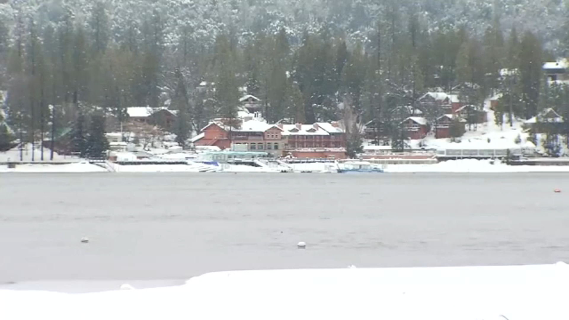
There are big concerns for the northern foothills and the Sierra especially near the burn scare area from the Detwiler Fire in Mariposa County.
"There could be some localized mud and debris flows because there's no vegetation to hold that water in the ground," said Boyd.
While one to two inches is expected in the high country, parts of the Valley could pick up at least three-quarters of an inch of rain.
"Keeping in mind that we get about an inch of rain for an average April. So we might get an entire average precipitation for Fresno in April just from this one storm," Boyd pointed out.