Gov. Brown links CA wildfires to drought, climate change


LAKE COUNTY, Calif. -- Crews backed by important firefighting resources are gaining ground against a massive Northern California wildfire, but it may be several days before thousands of evacuees can return home.
At a news conference on Thursday morning, Governor Jerry Brown addressed the fires burning across California and how they are linked to the state's drought. He says California needs long-term solutions on climate change, which he says is responsible for one the worst droughts in California's history.
He even called on the Republican candidates to take on the issue at the first Republican debate on Thursday night.
Brown visited fire crews fighting the massive Rocky Fire, thanking emergency responders, volunteers and hundreds of state prisoners helping on the fire lines.
He talked about how drought-stricken California is hotter and drier than it's ever been, making wildfires more severe and extending the fire season. And with fires raging across the state, Brown said more than $200 million has been spent in the last two years on firefighting equipment and crews.
Meanwhile, four more homes were destroyed overnight, bringing the total number of properties lost to 43. More than 13,000 people have been ordered or urged to leave their homes, vacation cabins and campsites since the blaze ignited July 29 about 100 miles north of San Francisco.
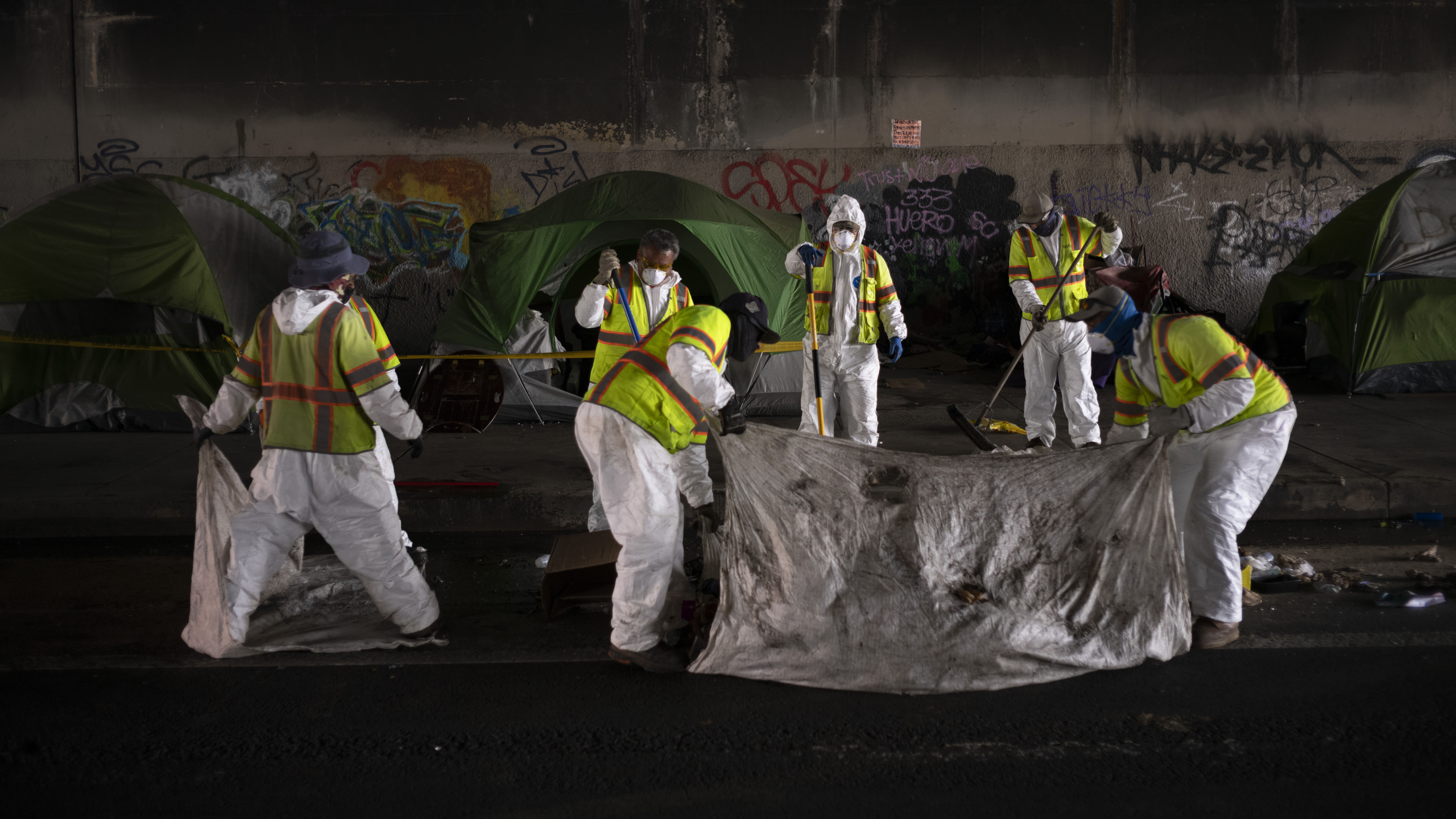
PHOTOS: ABC7 News at the Rocky Fire in Lake County
Dominic Polito, a fire spokesman, said he does not know when residents will be allowed back home.
"I would imagine they're going to make sure the line is completely contained before they do that," Polito said Thursday. "Plan on the next couple of days, and hopefully it's sooner than that."
Firefighters and equipment from outside the drought-stricken state have poured in to battle the blaze, which has chewed through more than 107 square miles of parched terrain and was 40 percent contained, the California Department of Forestry and Fire Protection said. The containment by 5 p.m. Thursday increased to 45 percent.
Days after declaring a state of emergency, California Gov. Jerry Brown plans to meet Thursday with fire and emergency officials for a briefing on efforts to contain the blaze. It is the largest of 23 fires statewide and takes up nearly a third of the 10,000 firefighters dispatched in California.
PHOTOS: Smoke from Lower Lake area wildfire seen for miles
Officials got ready for a drought-fueled fire season and built up staffs early with several hundred more firefighters than previous years, Cal Fire spokesman Daniel Berlant said.
"We're definitely at a medium to high level of activity, but we're not at extreme, where we are low on resources by any means," he said.
The National Interagency Fire Center in Idaho has listed the fire as the nation's highest priority for crews and equipment.
Across the U.S., 118 fires are burning on 2,757 square miles, according to the center. About 17,200 people are fighting those fires, but resources are not tapped out yet, center spokeswoman Robyn Broyles said. If civilian crews run low, officials can call on national guard and military crews.
August is the height of fire season, and while the number of fires nationally is below average, the 9,361 square miles burned to date is about 50 percent above average. Most of that - 7,731 square miles - has been in Alaska.
Firefighters in Northern California have been working 24-hour shifts. They bunk in tight sleepers and depart in the mornings with enormous high-calorie sack lunches of sandwiches and cookies as others come back tired, footsore and hungry.
Some of the 3,400 firefighters on the blaze have been here since it started a week ago. The cause of the fire, burning in rugged terrain in Lake, Yolo and Colusa counties, is under investigation.
As much as crews love the work, fatigue inevitably sets in.
"This is our seventh day," said Seaton King, a battalion chief with the Pasadena Fire Department. "You kind of get used to it, but it's still taxing in terms of being up and available for those 24-hour work cycles."
At the fire camp Wednesday, freshly returned firefighters sat at long tables, telling jokes and digging into bowls of fruit, corned beef hash and fried eggs.
Fire trucks parked outside hailed from Long Beach, Los Angeles and Riverside. Nearby were large white mobile sleepers that could fit 45 weary firefighters. Some preferred to pitch a tent.
"It's tiring work, no doubt about it. But most of these guys are in really great shape, and they thrive in this environment," said Hugo Patino, Modesto Fire Department battalion chief.
MANDATORY EVACUATIONS
Jerusalem Valley area east and west of Soda Creek, Bonham Rd, Double Eagle Ranch, Quarter Horse Ln, New Long Valley Road, homes along Highway 20 corridor between New Long Valley Road and east of the county line, Mustang Court, Bronco Court, Sunset Court, Morgan Valley east of Bonham Rd, Canyon Rd, June Bug Rd, Cantwell Ranch Rd, Sloan Ranch Rd, Sky High Ranch Rd, Rocky Creek Rd, Dam Rd from the gate to the dam, Grizzly Canyon, Long Branch Drive, Lance Rd, Cougar Rd, Red Rocks, Meridian Rd, Antelope Rd, Mule Skinner Rd, Flint Look Place, Moccasin Rd, Roundball Rd, Watertrough Rd, Grigsby Canyon, Lucky Canyon, Remington Canyon, Walker Ridge, Walker Ridge Rd, No Guns Rd, Meriann Drive, Bear Valley Rd from Highway 20 to Wilbur Springs Rd, Wilbur Springs Rd and Morgan Valley Rd X Butte Creek Rd, Ogulin County Rd and Spring Valley, Paradise Canyon, New Long Valley Rd, Old Long Valley Rd, Salt Canyon, Indian Hill Rd, Flaming Hills Ln, Benmore Canyon, Red Rock Rd, Red Rock Court, Round Mountain Rd North West of Highway 22, Fern Way, Juniper Way, Holly Way, Golden Red Way, Shasta Rd, Cougar Rd, Jeep Trail, Smith Ln, Pueblo Trail, Quail Trail, Ogulin Canyon Rd, Meadow Creek Rd, Cache Creek Rd, Wolf Creek Rd, Spring Valley Rd, Riverview Rd, Rocky Ridge, Chalk Mountain Rd, Lakeview Campground, Cache Creek Winery, Noggle Winery, Elm Way, Dogwood, Cedar, Blue Berry, Acacia Way, Acacia Street, Doe Trail, Madrone Way, Peach Way, Quince Way, Redwood Way, Sequoia Way, Tamarack Way, Weeping Willow Way, Yucca Way, Coyote Way, Elk Way and Fox Way.
ADVISORY EVACUATIONS
All areas including east of Hwy 29 at Raita Rd east of Hwy 53 north to Hwy 20, Clearlake area east of Highway 53 from Dam Rd to Highway 20, Spruce Grove Rd, Noble Ranch Rd, Black Bass Pass, Spruce Grove Rd to intersection of Jerusalem Grade, Lake Ridge, Highway 53 west to Sulphur Bank Rd along Highway 20.
EVACUATION CENTERS
Middletown High School, Kelseyville High School
An animal evacuation center is opened at the Lower Lake Social Services parking lot, 15975 Anderson Ranch Parkway, Lower Lake.
Animal Evacuation Centers: Lake Evacuation and Animal Protection 707-263-0278
ROAD CLOSURES
Jerusalem Valley Road is closed to all traffic at Spruce Grove Road. Highway 20 corridor will be closed from Highway 16 to Highway 53, both directions of Ogulin Canyon Road and Highway 16 is closed from Highway 20 to County Road 41 in Yolo County.
For more stories about the wildfires breaking out across California, click here.