New map highlights high fire hazard zones in California


FRESNO COUNTY, Calif. (KFSN) -- A new proposed map of California shows many areas of the state at a very high risk of wildfire danger, including Central California.
After more than 15 years, CAL FIRE recently released an updated Fire Hazard Severity Zone Map, ranking California's rural, unincorporated area's likelihood of experiencing wildfire.
"On the map is really to inform the public of the hazard of the area they're in, and to allow them to take the necessary measures to prepare for wildfire," Fire Chief Steve Hawks said
The map highlights areas in Central California, like Mariposa County or even Fresno County, in very high fire hazard severity zones.
Fresno County Supervisor Nathan Magsig says he's seen the changes around him.
"This new map did not shock me, because when you travel up into our force and you take a look at the condition that they're in with your own eyes, you can see a big difference," Magsig said.
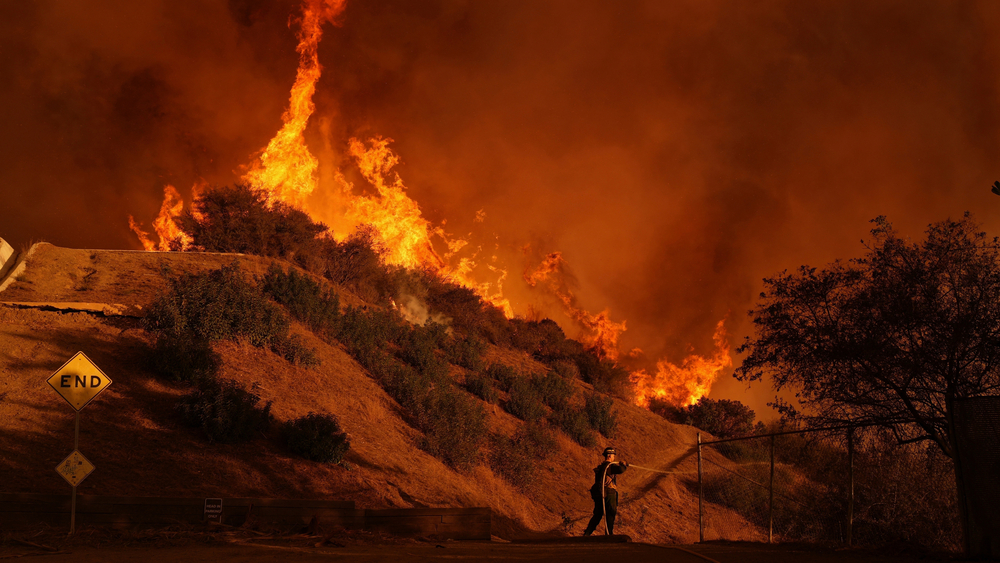
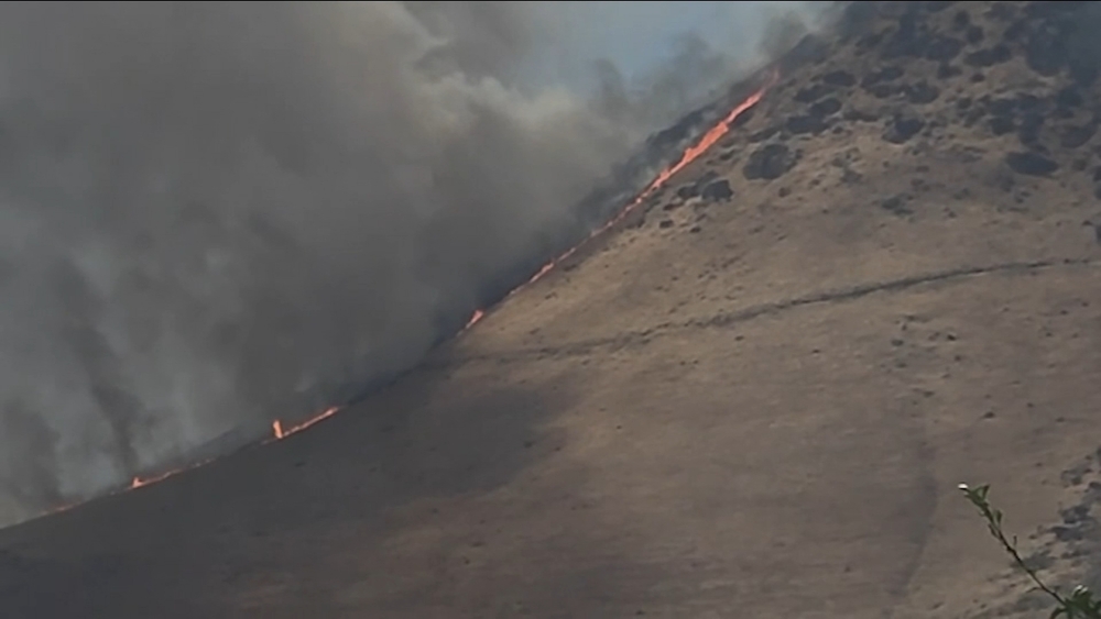
Many trees have died off as California faces longer fire seasons and drier conditions.
In 2020, the Creek Fire was the single largest fire in California history, charring nearly 400,000 acres..
Magsig said these issues go back more than 100 years, suggesting the culprit is the climate.
"So the climate is cyclical. And so it's important for us to be good managers, not just once a generation, but in perpetuity," Magsig said.
Magsig says Fresno County is already doing the work to protect the public. In early December, Fresno County Tree Mortality Task Force was awarded the prestigious Francis H. Raymond Award for their fire prevention efforts.
Fresno county is also partnering with local organizations and other agencies to reduce the fire risk.
"We need to be in our forest, thinning them properly. We need to have more prescribed burning events in our forest, and as we do this, it will allow our forest to become healthy again," Magsig said.
The Office of the State Fire Marshal has started a a public comment period. There will be many hearings over the next several weeks before the map is officially adopted.
For ways to stay informed and join the conversation, click here.