6.0 earthquake shakes the Bay Area
3 people critically injured after earthquake near Napa, California


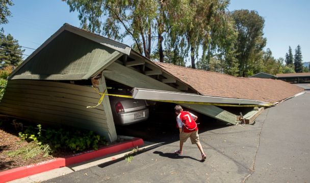
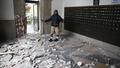
NAPA, Calif. -- A large earthquake caused significant damage and left three critically injured in California's northern Bay Area early Sunday, igniting fires, sending at least 87 people to a hospital, knocking out power to tens of thousands and sending residents running out of their homes in the darkness.
------
LIVE Coverage on KGO-TV San Francisco
------
Two adults and one child have critical injuries and Queen of the Valley hospital has treated 87 people, the city of Napa in California wine country said in a statement Sunday. Most patients have cuts, bumps, bruises, said Vanessa DeGier, spokeswoman for the hospital in Napa. She says the facility has treated a hip fracture and heart attack, but it's unclear if it was related to the 6.0-magnitude earthquake. The hospital has set up a triage tent and many people are still coming in, DeGier said.
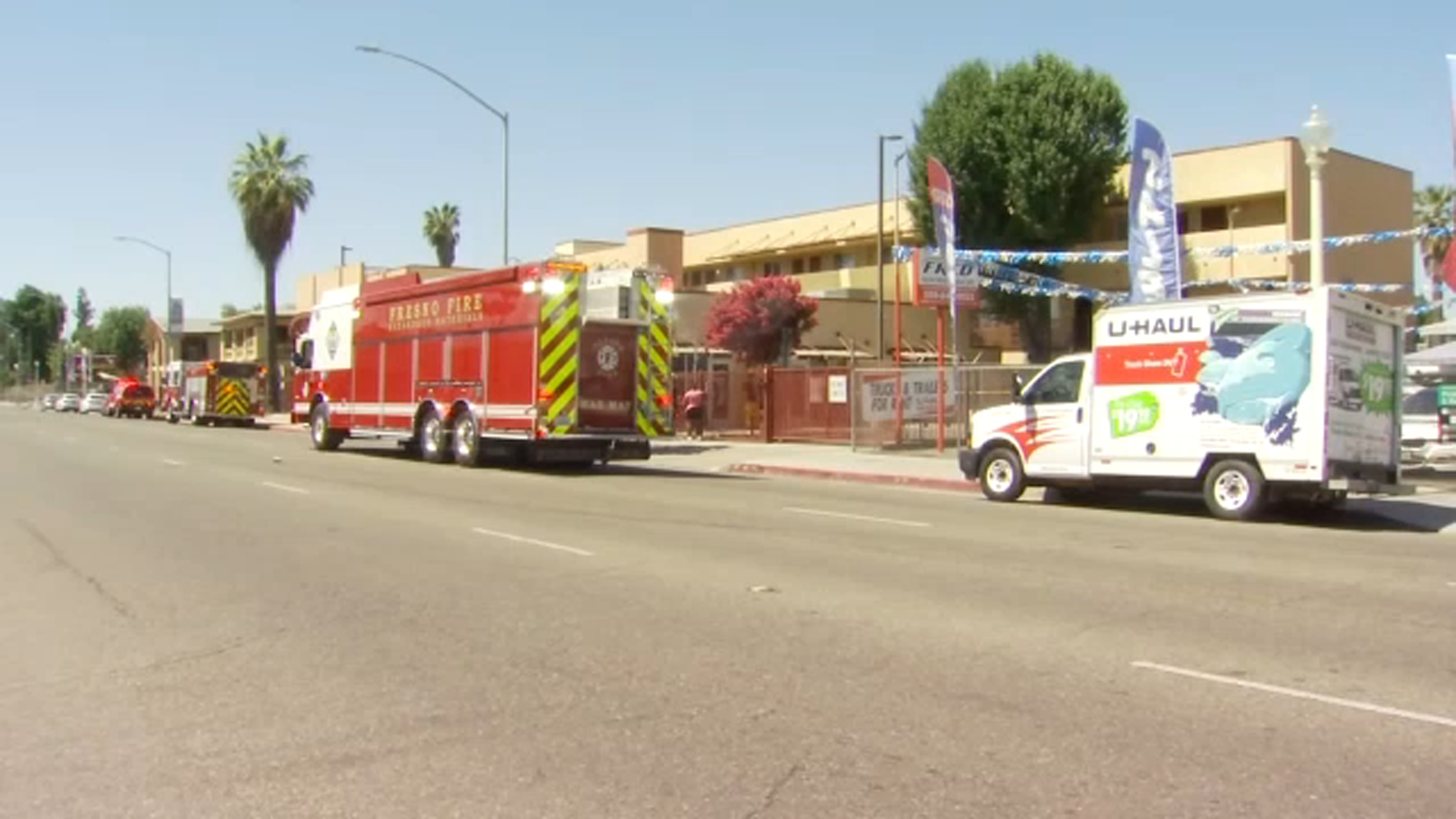
The quake caused six significant fires, including at a mobile home part, Napa Division Fire Chief Darren Drake said. Four mobile homes have been destroyed and two others damaged, the city said. Several other smaller fires have been reported and firefighting efforts have been complicated by broken water mains.
The earthquake struck just before 3:30 a.m. about 4 miles northwest of American Canyon, which is about 6 miles southwest of Napa, said Leslie Gordon of the U.S. Geological Survey said. It's the largest earthquake to shake the Bay Area since the 6.9-magnitude Loma Prieta quake in 1989, the USGS said. That earthquake struck the San Francisco Bay Area on Oct. 17, 1989 during a World Series game between the San Francisco Giants and the Oakland Athletics, collapsing part of the Bay Bridge roadway and killing more than 60 people, most when an Oakland freeway fell.
"There's collapses, fires," said Napa Fire Capt. Doug Bridewell, standing in front of large pieces of masonry that broke loose from a turn of the century office building where a fire had just been extinguished. "That's the worst shaking I've ever been in."
Bridewell, who said he had to climb over fallen furniture in his own home to check on his family before reporting to duty, said he was starting to see more reports of injuries.

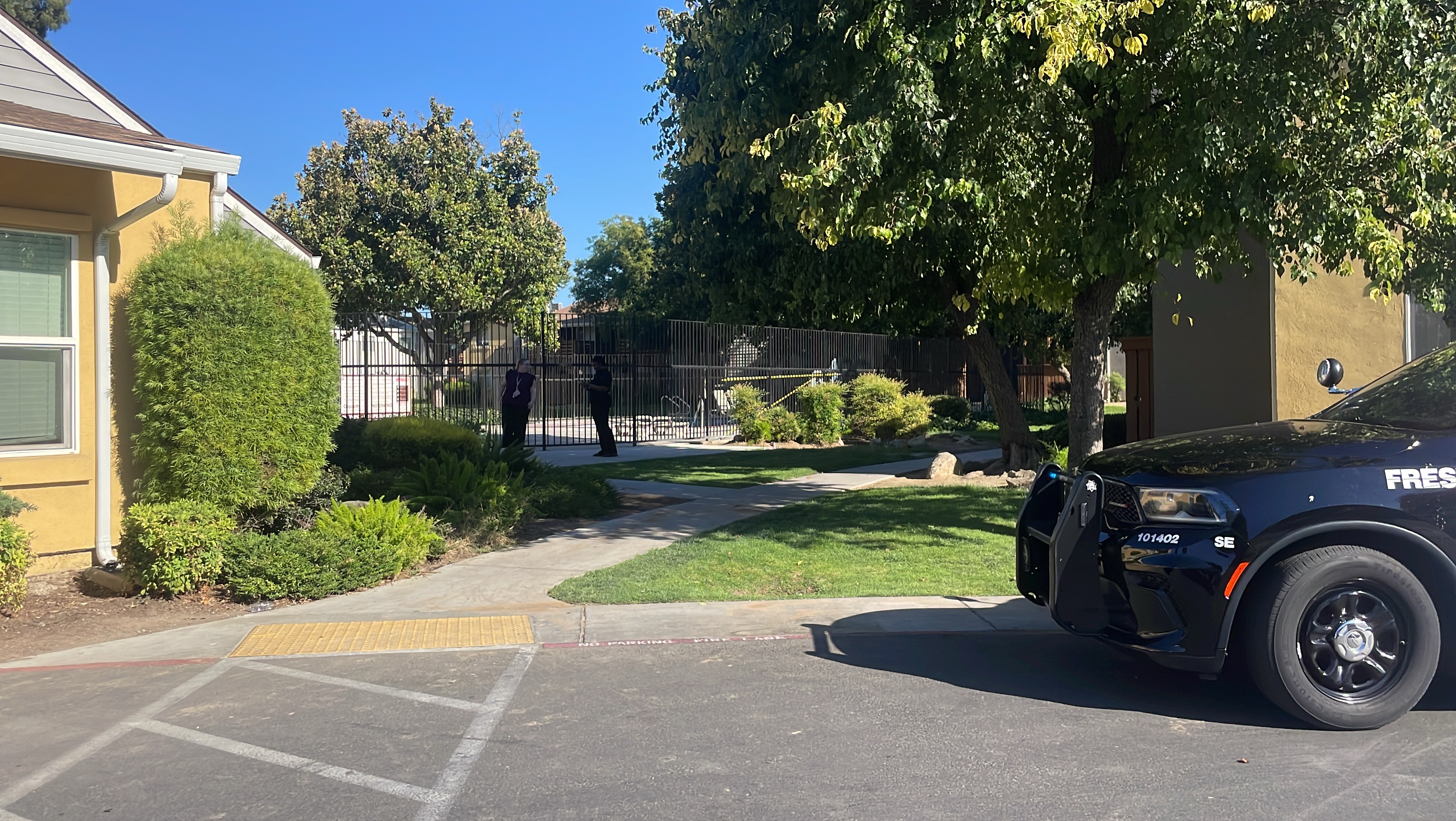
Three historic buildings in Napa have been damaged, including the county courthouse, and at least two downtown commercial buildings have been severely damaged. A Red Cross evacuation center has been set up at a high school and crews are assessing damage to homes.
The shaking emptied cabinets in homes and store shelves, set off car alarms and had residents of neighboring Sonoma County running out of their houses and talking about damage inside their homes. Officials say widespread power outages have been reported in the area.
"It was a rolling quake, said Oakland resident Rich Lieberman. "It started very much like a rolling sensation and just got progressively worse in terms of length. Not so much in terms of shaking, but it did shake. It felt like a side-to-side kind of rolling sensation. Nothing violent but extremely lengthy and extremely active."
The USGS says the depth of the earthquake was just less than seven miles, and numerous small aftershocks have occurred in the Napa wine country.
"A quake of that size in a populated area is of course widely felt throughout that region," said Randy Baldwin, a geophysicist with the U.S. Geological Survey in Golden, Colorado. "The 6.0 is a sizeable quake for this area. It's a shallow quake. It's about 6 miles deep. We received hundreds of reports on our website from people that felt it in the surrounding area."
California Highway Patrol Officer Kevin Bartlett said cracks and damage to pavement closed the westbound Interstate 80 connector to westbound State Route 37 in Vallejo and westbound State Route 37 at the Sonoma off ramp. He says there haven't been reports of injuries or people stranded in their cars, but there are numerous flat tires from motorists driving over damaged roads.
Highway Patrol and the California Department of Transportation was checking roadways for damage, Bartlett said.
California Highway Patrol Officer Daniel Hill told KTVU-TV that road damage appears confined to the Napa and Sonoma areas. He said there appears to be no damage to major bridges in the Bay Area.
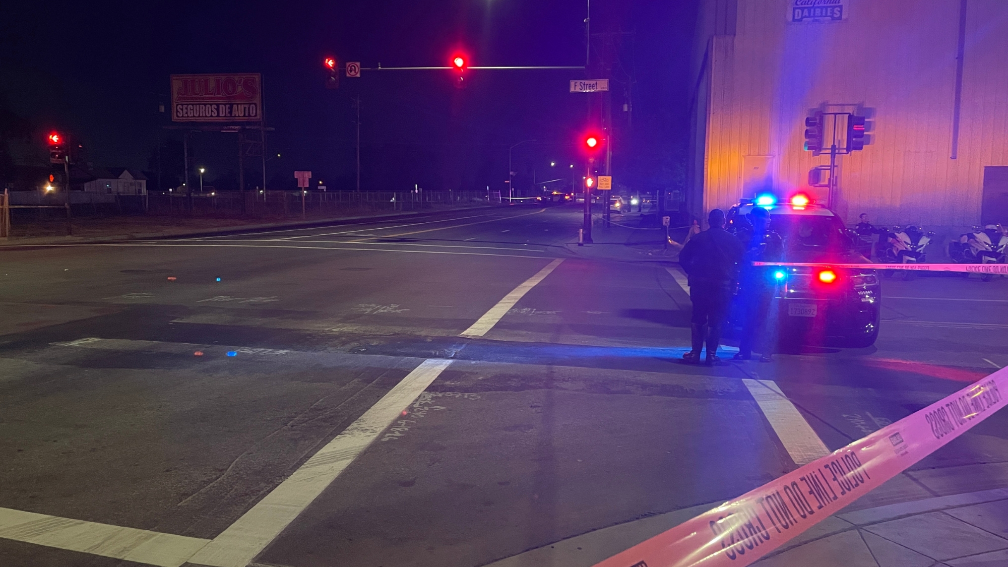
In Napa, city spokesman Barry Martin there has been significant damage. Store windows were broken and water mains broke in several locations, one of which left at least one street flooded. Gas breaks have also been reported in several areas. Power outages left streetlights dark.
Numerous emergency vehicles were on the roads in Napa and Sonoma counties.
___
Associated Press writer Tom Verdin in Sacramento contributed to this report.
------
Tectonic Summary
By USGS
The earthquake lies within a 70-km-wide (44 miles) set of major faults of the San Andreas Fault system that forms the boundary between the Pacific and North American tectonic plates. The persistent northwestward movement of the Pacific plate relative to North America primarily causes right-lateral slip across the major faults, but also causes deformation between the major faults. The ongoing complex deformation field is revealed by modern geodetic surveys and earthquake patterns as well as the regional geologic structure. The earthquake is located at the eastern shore of San Pablo Bay between two major active fault systems: the Hayward-Rodgers Creek Fault system on the west and the Concord-Green Valley Fault system on the east. The earthquake occurred near the well-known West Napa Fault, and the less well known Carneros-Franklin Faults, which juxtapose different suites of rocks. Although there are several faults in the region of the earthquake, only the West Napa Fault is known to have displaced Holocene-age sediment - which is positive evidence of surface fault rupture in the last 11,000 years.
Historically, in this region shaking sufficient to seriously damage structures at Mare Island occurred during the M6.8 1868 Hayward Fault earthquake, the M7.8 1906 San Andreas Fault earthquake, and particularly during the M6.3 1898 Mare Island earthquake. The 1898 earthquake may have occurred about 20 km (12 miles) to the northwest on the southern Rodgers Creek Fault. Even larger nearby events than the 1898 earthquake can be expected in the future. In addition, the epicentral region of this earthquake is depicted on the USGS National Seismic Hazard Maps to have a high probability of strong shaking in the future.
The earthquake is located between two major, largely strike-slip fault systems. The Hayward-Rodgers Creek Fault system, which is approximately 7 km (4 miles) west of the site, generated damaging earthquakes in 1868 and probably in 1898. The Concord-Green Valley Fault system, which is 12 km (7 miles) east of the site, produced a M5.5 earthquake in 1954; while it has not generated a large historical event, there is strong evidence for recent pre-historic activity. The 1999 Working Group on California Earthquake Probabilities (WG99, 1999) concluded that the Hayward-Rodgers Creek Fault system has a 32 percent probability of generating a large earthquake (M6.7 to 7.4) by the year 2030, and the Concord-Green Valley Fault system has a 6 percent chance of generating a large earthquake (M6.7) in the same time period.
The earthquake occurred near the north shore of San Pablo Bay. The bayshore areas in the San Francisco Bay region are underlain by landfill and bay mud and have experienced disproportionately greater damage during historic earthquakes. Such damage is caused by soil failure in the fills and amplification of ground shaking by the soft bay mud.