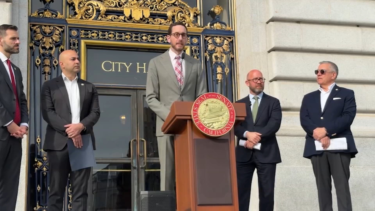
Sen. Scott Wiener introduces bill to help cities 'break up' with PG&E
"It is time for San Francisco to break up with PG&E," Scott Wiener said as he introduced a "breakup bill" which would ease the burden of proof required for cities to justify a switch from a private to publicly owned utility.