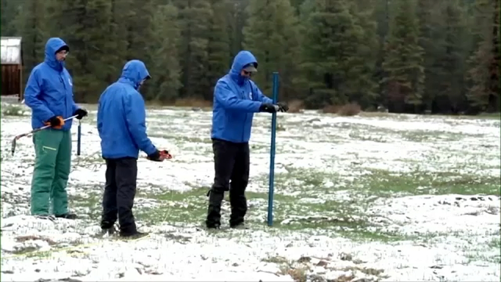
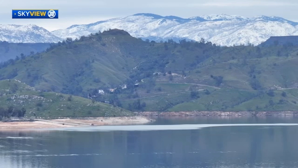
Winter Storm Warning: Lake Tahoe could see up to foot of snow this weekend, warm streak to end in Sierra
A Winter Weather Advisory is in effect Friday and Winter Weather Warning will be effect starting Saturday afternoon


SAN FRANCISCO -- Lake Tahoe is going from hot to cold this weekend with rain turning to snow.
"It sure looks like winter up there," said ABC7 News Meteorologist Mike Nicco.
A new storm system is expected to sweep through the Sierra Nevada, bringing fresh powder to Tahoe this weekend according to Nicco.
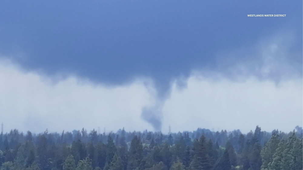
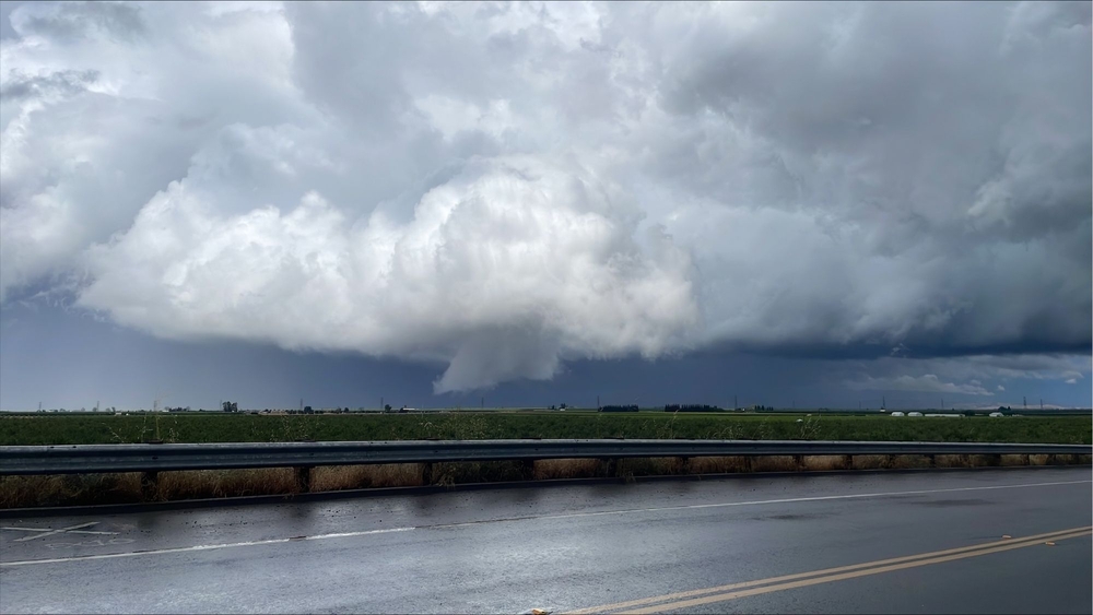
RELATED: Storm system heading to Bay Area could bring showers, thunderstorms and hail this weekend
A Winter Weather Advisory is in effect Friday from 10 a.m. until 10 p.m.
Nicco says within that 12 hour period we could see 3 to 6 inches of snow as low as 5,000 feet and 8 inches over the peaks "and with it being rather windy there -- that's going to create some difficult travel conditions."
Expect a little bit of a break Saturday morning before the Sierra gets hit with more fresh powder.
A Winter Weather Warning will be effect from 4 p.m. Saturday until 4 p.m Sunday.
At that point Nicco says the snow level will drop down to 4,000 feet "and the snow will be heavier."
Expect 8 to 12 inches during that period.
"Travel is not recommended, but if you have to head up there make sure you take your chains," added Nicco.
Tahoe will be getting a good amount of snow after experiencing a warm streak for more than a week.
Even places in lower elevations like Gold Run and Pollock Pines could see a couple of inches of fresh powder.
"It's definitely going to be a sight to behold -- going from temperatures near 70 to snow," said Nicco.
RELATED STORIES & VIDEOS:
- VIDEO: Watch the latest AccuWeather forecast
- How to prepare your home for winter storms
- TIPS: How do you recover from hydroplaning?
- TIPS: Here's how to use sandbags and prevent flooding
- Planning a snow trip? Check out these Sierra driving tips from the pros
- How to drive safely in snow
- Tips to help you drive in dense fog
- Tips for staying safe while hitting the slopes